Article Index
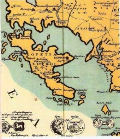
803-1797xartes9107
Από το βιβλίο: Η ΕΠΤΑΝΗΣΟΣ ΣΕ ΧΑΡΤΕΣ από τον Πτολεμαίο στους δορυφόρους. Επιμέλεια: Ευάγγελος Λιβιεράτος, Ηλίας Μπεριάτος.
Βελενστινλής Ρήγας. Λεπτομέρεια από τη Χάρτα 1797.
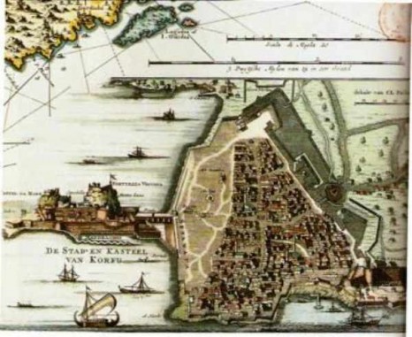
804-18o
Από το βιβλίο: ΔΗΜΟΣΙΕΣ ΤΕΛΕΤΕΣ ΣΤΗΝ ΚΕΡΚΥΡΑ ΚΑΤΑ ΤΗΝ ΠΕΡΙΟΔΟ ΤΗΣ ΒΕΝΕΤΙΚΗΣ ΚΥΡΙΑΡΧΙΑΣ 14ος -18ος αι. Αλίκη Νικηφόρου.
18ος αι.
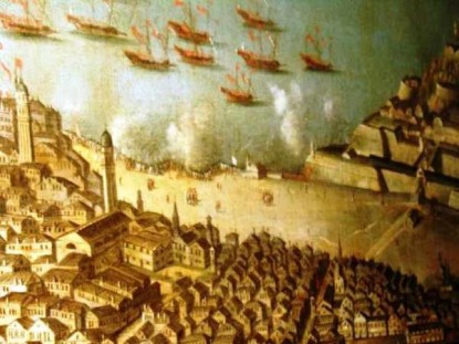
Δημήτρης Καρύδης's Photos - CORFUΑπό το Museo Navalle (Βενετία) πίνακας της πόλης (18ος αι.). Εδώ: Σπιανάδα - Μανδρακίνα.
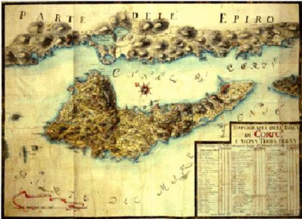
Library of the Museo Correr [Francesco Zamoreo, captain and engineer]; end of the eighteenth century Topografia dell’isola di Corfù e vicina Terraferma .
Library of the Museo Correr Anonymous author; end of the eighteenth century.
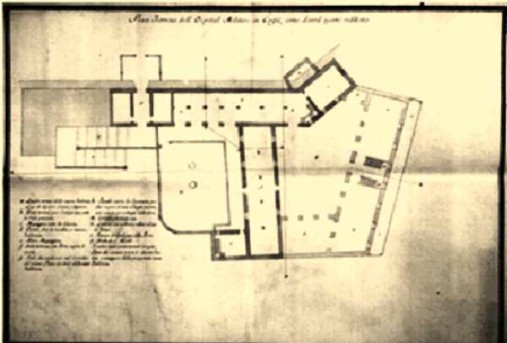
Pian Terreno dell’Ospital Militare in Corfù, come dovrà essere ridotto.
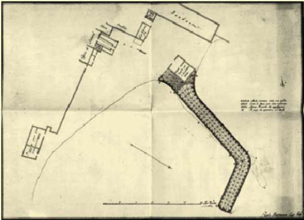
Library of the Museo Correr Paolo Mastraca, captain and engineer; end of 18th century
[Project for the Port of Spilea, Corfu].
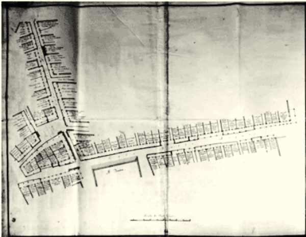
Library of the Museo Correr Anonymous author; late eighteenth century
[Plan of an urban sector of the city of Corfu: area between the Calle dei Mercatanti and Calle delle Acque, facing the theatre of S. Giacomo].
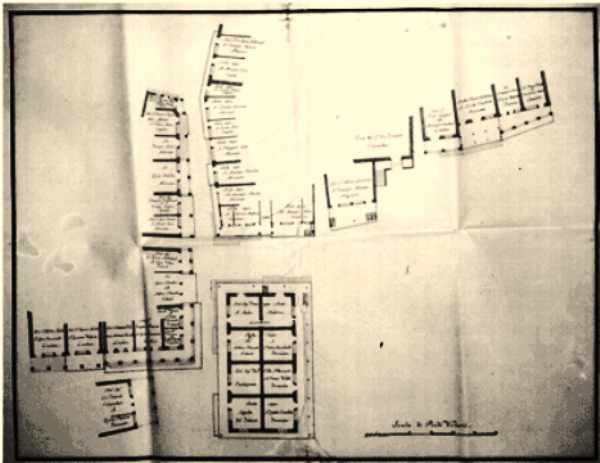
Library of the Museo Correr Anonymous author; late eighteenth century
[Plan of an urban sector of the city of Corfu: district behind Porta Spilea, between the convents of S. Francesco and La Madonna del Tenedo].

Library of the Museo Correr Anonymous author; late eighteenth century
[Plan of an urban sector of the city of Corfu: area between the two Greek churches of S. Basilio and S. Giovanni]
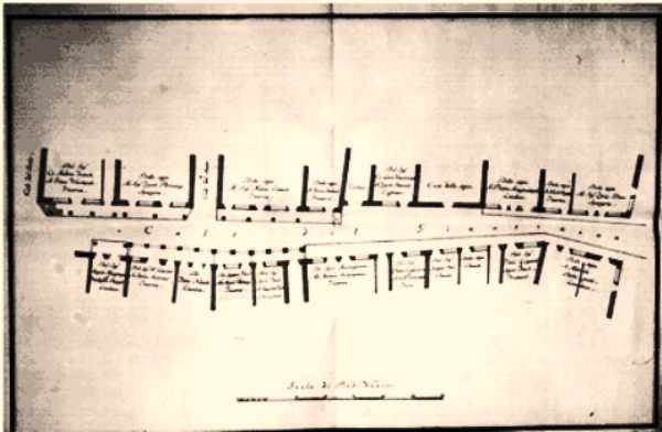
Library of the Museo Correr Anonymous author; late eighteenth century
[Plan of an urban sector of the city of Corfu: area of Calle del Giustinian].

